

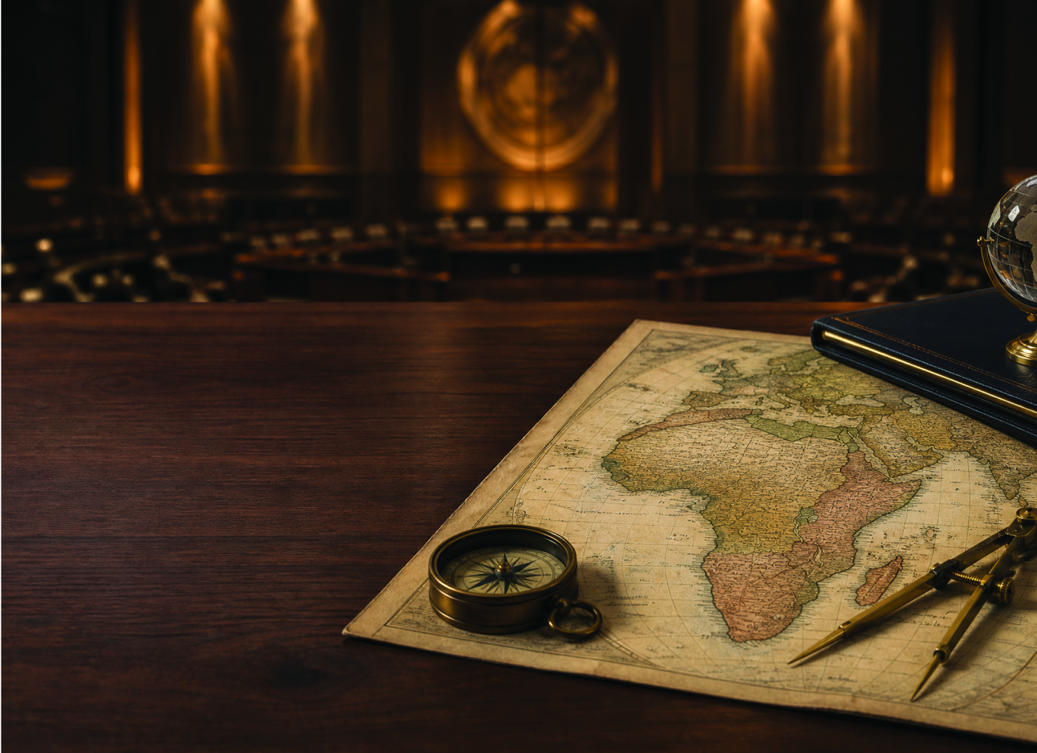
ESWATINI has joined 163 other countries in backing an African-led push for greater use of world maps that more accurately represent the relative size of the continent.
According to voting information released by the United Nations, the kingdom voted in favour of the “Correct the Map” resolution adopted by the UN General Assembly on Friday.
The resolution, introduced by Togo on behalf of the 54-member African Group and backed by the African Union (AU), was adopted by 164 votes to one, with six abstentions.
The United States cast the only vote against it, while Estonia, Georgia, Lithuania, Moldova, Serbia and Ukraine abstained.
At the heart of the African-led campaign is an argument that one of the world’s most familiar maps has, for generations, given people a distorted impression of Africa’s size relative to other continents.
The debate centres on the Mercator projection, developed by Flemish cartographer Gerardus Mercator in 1569 and still widely used around the world.
According to the UN, Mercator designed the projection primarily for maritime navigation. It allowed sailors to plot courses using straight lines while maintaining constant compass bearings.
Its usefulness for navigation is not in dispute. The concern raised by supporters of the African proposal is what happens when Mercator is used as a general-purpose world map.
Representing the spherical Earth on a flat surface inevitably involves some distortion. Mercator preserves direction and broadly recognisable shapes, but does so at the expense of accurately representing area. Landmasses appear increasingly enlarged the farther they are from the Equator.
Greenland provides one of the clearest examples. On a Mercator map, Greenland can appear roughly comparable in size to Africa. In reality, Africa is about 14 times larger. Parts of North America and Europe are similarly enlarged relative to regions closer to the Equator.
The African-backed resolution argues that the continued widespread use of such maps has contributed to what it describes as the “symbolic minimisation” of Africa and an unbalanced perception of the continent’s place in the world. It encourages governments, educational institutions, international organisations and technology companies to make greater use of equal-area projections when comparing the relative size of countries and continents.
Among the alternatives promoted is Equal Earth, developed in 2018 by cartographers Tom Patterson, Bernhard Jenny and Bojan Šavrič. Unlike Mercator, Equal Earth prioritises the relative area of landmasses. Africa therefore appears considerably larger in relation to Europe, North America and Greenland than it does on a Mercator map.
It is not a perfect representation of the planet either. The UN noted that no flat map can reproduce a spherical Earth without distortion. Different projections instead prioritise properties such as area, shape or direction depending on their intended use.
Friday’s resolution does not ban Mercator or require countries to immediately replace existing maps. It is not legally binding. Instead, member states are encouraged to use equal-area maps when relative size matters and to teach the limitations of different map projections.
Togo’s Foreign Minister Robert Dussey told the General Assembly before the vote that the debate went beyond geography because maps could influence how people understood the world around them.
“Maps shape our understanding of the world. They guide education, nourish the imagination and influence collective perceptions,” he said.
The resolution describes correcting the distortion in terms of “cognitive justice and memorial reparation”, although Dussey stressed that the campaign was not intended to condemn Mercator or deny the historical usefulness of his work. “A fair map does not change the geography of the world, it changes how we see the world,” he said.
The United States strongly rejected that reasoning. In explaining why it would vote against the resolution, Washington said it did not regard the proposal as merely a technical attempt to improve the geographical proportions shown on world maps.
Instead, the US argued that the initiative had been tied to a broader ideological agenda involving historical reparations and “cognitive justice”, which it believed distracted the UN from more pressing matters of international peace, prosperity and relations between states. Deputy US Representative to the UN Economic and Social Council Yaryna Ferencevych said the initiative could not be separated from what she described as a “much larger and more radical ideological project”.
She criticised the general assembly for debating a 16th-century map and its relationship to reparations and “cognitive justice”, arguing that the institution should focus on more immediate international challenges. Ferencevych described resolutions of this nature as “barnacles” on the UN’s work and said they contributed to the institution losing credibility.
Washington’s opposition ultimately left it alone in the final vote.
The 164 countries supporting the resolution extended well beyond Africa. The African Group’s 54 members account for less than a third of the UN’s 193 member states.
The AU welcomed the result, saying wider use of equal-area maps in classrooms, the media and international institutions would allow Africa’s geographical scale to be represented more accurately.
For the kingdom, the vote placed the kingdom alongside the broader African position in a debate the continent framed as being about both geographical accuracy and representation. The decision will not require maps in the country’s classrooms to be immediately replaced, nor does it change the size or borders of the kingdom.
Instead, the African-backed resolution seeks to change which maps are used when people are being shown how large different parts of the world are in relation to one another. For Togo and the African Group, the argument is that the map through which much of the world sees Africa needs to more accurately show how large it has always been.
‘Minister Shakantu on right side of history in map vote, but…’
International relations expert Melusi Simelane has commended Minister of Foreign Affairs and International Cooperation Pholile Shakantu for the kingdom’s support of the African-led push to change how the continent is represented on world maps, saying the kingdom had placed itself on the right side of history.
Simelane also credited Prime Minister Russell Dlamini following Eswatini’s vote in favour of the “Correct the Map” resolution adopted by the United Nations General Assembly on Friday.
The resolution, introduced by Togo on behalf of the 54-member African Group, secured overwhelming international support, with 164 countries voting in favour, six abstaining and the United States casting the sole vote against it.
Simelane said the country’s decision should be viewed beyond the symbolism of correcting Africa’s geographical representation. He argued that the vote formed part of a broader effort by African countries to assert the continent’s voice and place in global affairs.
“It is correct to look at this vote beyond its symbolism of expressing Africa’s much-needed voice or, in this case, face, in the world,” Simelane said.
He said the campaign demonstrated that Africa was significant not only because it had the world’s largest youth population, but also because of its physical scale and potential influence internationally.
Simelane said Eswatini should be counted among African countries demanding greater recognition of the continent’s place in global history and international affairs.
He linked the map campaign to wider African efforts to address historical questions, including calls for recognition of the transatlantic slave trade and its consequences.
“Africa is claiming its place in the pages of history and Minister Shakantu, ought to be commended for her leadership in this regard,” he said, adding that the PM’s leadership should similarly be recognised.
His praise, however, came with a warning. Simelane said correcting Africa’s representation on a world map would mean little if it became another symbolic victory without stronger African leadership on the economic and geopolitical challenges confronting the continent.
He argued that Africa had too often pursued what he described as “empty gestures of grandeur” without following them with decisions capable of materially strengthening the continent.
“We must stop making decisions that lack meaning, because they reduce us, as a continent, to a pattern of relying on gestures instead of exhibiting leadership in the many crises facing the world,” he stated.
Simelane pointed particularly to trade, where he said African countries continued to struggle to act collectively both within the continent and in their dealings with the wider world.
That weakness, he argued, continued to leave African states vulnerable to exploitation by competing global powers, whether from the East or West. The UN vote should therefore, serve as a wake-up call rather than an end in itself, he said.
For Simelane, securing a more accurate representation of Africa’s physical size was one step towards asserting the continent’s place internationally, but far from the most consequential one.
He said the greater challenge was translating that assertion into credible African leadership, stronger economic cooperation and greater agency in international affairs.
That responsibility, he added, did not begin elsewhere on the continent. It started at home.
“A true reflection of the size of Africa is only one step and far from the most important one,” Simelane said, arguing that it had to be accompanied by credible leadership across the continent.